
Need to Use Your Phone in the Drakensberg or a Game Reserve? Here's What Actually Happens

The official emergency protocol for the Drakensberg wilderness area says it plainly: contacting anyone by cellphone from inside the wilderness area is almost certainly going to be a problem. The documented fallback, for hikers relying on cell coverage, is sending a runner up to a high point to try to find a signal.
It's a similar story in South Africa's game reserves, just for different reasons. In Kruger, cellphone coverage is patchy at best — concentrated around a handful of rest camps in the south, with sizable gaps in between — and using a phone on a game drive isn't allowed in the first place. Self-drive visitors who break down between camps, off the tarred main roads, are relying on another vehicle passing by more than they're relying on a signal bar.
Two very different settings, same underlying problem: the moment something goes wrong, the device most people default to for help is the one least likely to work.
What an Emergency Actually Looks Like Without cell phone signal in Kruger National Park
Search and rescue in South Africa's mountains isn't a single phone call and a helicopter five minutes later. In the Drakensberg, technical rescues run on a joint protocol between the Mountain Club of South Africa, provincial wildlife authorities, and the Department of Health — and the Mountain Club forms the backbone of the technical response. Getting that response moving starts with reaching a ranger's office, in person or by phone, and if that fails, a separate emergency number to trigger a callout.
On Table Mountain, cases of hikers going missing have shown the same pattern: search efforts by SANParks rangers, Wilderness Search and Rescue volunteers, and trail runners can run for a full day or more when the person's last known location was never updated after they set off. Every hour without a location or a message is an hour the search radius grows.
None of this is a criticism of the people running these operations — Mountain Club rescue teams and Wilderness Search and Rescue volunteers do genuinely difficult work, often unpaid. It's the honest shape of the problem: rescue in remote terrain depends entirely on someone knowing where to look, and that depends on you having a way to say where you are.
The same shape shows up in a game reserve, just slower-moving. A flat tyre or mechanical failure on a quiet stretch between camps isn't life-threatening on its own, but if it happens outside the concentrated coverage zones and no other vehicle comes past for a while, "wait for someone to notice you're overdue" is the actual plan for a lot of self-drive visitors — not because anyone's being careless, but because there usually isn't another option in the vehicle.
A satellite communicator collapses that timeline. Instead of "nobody's heard from them, start searching a whole mountain range," it's "SOS triggered, here's the exact GPS coordinate, here's the message." Garmin's SOS response, for example, connects directly to a 24/7 coordination centre that can text you back, contact local emergency services, and keep your emergency contacts updated — all without needing a phone signal.
It's Not Just for Worst-Case Scenarios
The emergency case gets the headlines, but most of the value shows up long before SOS is ever needed:
Letting people know you're safe. A scheduled check-in message means the people waiting for you aren't left guessing when you're a few hours later than planned because of weather, a slow section of trail, or a route that took longer than expected on a game drive.
Weather changes fast in South African mountains. Being able to send and receive a message when a storm rolls in — rather than pushing on because you have no way to check conditions or tell anyone you're delayed — is a real, everyday use case.
Solo hiking is a known risk factor. Several of the highest-profile missing-hiker situations in South Africa involved someone hiking alone. A communicator doesn't remove that risk, but it's the one piece of gear that meaningfully offsets it.
Injuries that aren't life-threatening still need help. A twisted ankle two days from the nearest road isn't an SOS situation, but being able to message for a slower extraction, or simply confirm you're okay and moving, changes the whole experience of dealing with it.
Vehicle trouble away from a rest camp is its own version of the same problem. A message with your GPS position to camp reception, or to family waiting for you, turns "we don't know where they are" into "they're fine, just stuck, here's the spot."
The Honest Limits
A satellite communicator is not a substitute for basic hiking judgement, and it's worth being direct about what it doesn't do:
It doesn't replace registering your route and return time with the relevant authority — CapeNature in the Cederberg, Ezemvelo KZN Wildlife in the Drakensberg, or SANParks elsewhere — or telling someone off the mountain your plan. In a game reserve, it doesn't override park rules either — most reserves, including Kruger, don't allow cellphone use on game drives, and a satellite communicator isn't an exception to that.
SOS still depends on a reasonably clear view of the sky. Deep ravines, dense forest, or being tucked under an overhang can delay message delivery.
It requires an active satellite subscription to function — the device on its own does nothing.
It speeds up finding you and communicating. It doesn't replace basic preparation, navigation skill, or turning back when conditions turn.
Which Device Actually Fits This Need of no cell phone signal Kruger National Park
"Satellite communicator" covers a range of devices, and they're not interchangeable for hiking or self-drive use:
Garmin inReach Mini 3 — lightweight (around 100g), messaging and SOS-first, designed to be carried on your body for every step of a hike. It's the device most closely matched to the Drakensberg scenario in this post — small enough that there's no real excuse not to carry it.
Garmin GPSMAP H1i Plus — the same SOS and messaging capability, built into a full handheld GPS unit with mapping, a camera, and voice messages. Heavier at 290g, and worth it specifically if you're guiding, navigating off-trail, or want detailed topo mapping on the device itself. It also works well clipped to a vehicle dash for game reserve self-drives, where weight matters far less than in a backpack.
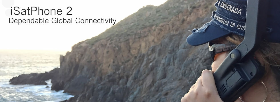
Inmarsat IsatPhone 2 — a genuine satellite phone rather than a lightweight communicator, from R21,369. It gives you actual voice calls over the Inmarsat network, an 8-hour talk time, and a dedicated SOS button, but it needs a clear line of sight toward the equator to connect and it's noticeably bulkier than either Garmin option. It suits a vehicle glove box or a group's base camp more naturally than something a solo hiker carries mile after mile — useful for self-drive game reserve trips where you want an actual phone call option, less so for backpacking.
The right pick depends on whether you need voice calls or just messaging and SOS, whether it's going in a backpack or a glove box, and how much weight you're willing to carry for it.
FAQ
Does my phone's SOS feature cover this already? Some recent smartphones offer a basic satellite SOS feature, but coverage, message length, and the emergency network behind it vary by phone model and region — check your specific device's current capability rather than assuming it matches a dedicated communicator's coverage and response network.
Is a satellite communicator only for remote, multi-day trails? No — cell coverage gaps show up on well-known day-hike routes too, including parts of Table Mountain and the Drakensberg's more popular trails, as well as most of the driving time inside a game reserve like Kruger.
Can't I just use my phone at a rest camp instead? Rest camps generally have better signal than the rest of the park, but coverage there is still inconsistent — some camps get reliable data, others drop out for hours or days at a time, and you're not at camp when a breakdown or emergency actually happens.
What's the actual response time if I trigger SOS? It depends entirely on your location, terrain, and which agency responds — there's no fixed number we can honestly give you. What a communicator changes is how fast the right people learn where you are and that you need help, which is usually the biggest bottleneck in a real rescue.
Do I need a satellite phone instead of a communicator? For hiking specifically, usually no. A satellite phone like the Inmarsat IsatPhone 2 is heavier, pricier, and built around voice calls rather than being carried mile after mile on foot. A dedicated communicator — the Garmin inReach Mini 3 for lightweight trips, or the GPSMAP H1i Plus if you also want full navigation — is built around messaging, SOS, and tracking, which is what actually matters on the trail.
The gap between "cell signal" and "no signal" is smaller than most people assume, whether you're on a Drakensberg trail or driving between camps in a game reserve — and the gap between "help is coming" and "nobody knows where to look" is exactly what a satellite communicator closes. For most hikers, that means a Garmin inReach Mini 3. For guides, off-trail navigators, and self-drive game reserve trips, the GPSMAP H1i Plus. For an actual phone call option from a vehicle, the Inmarsat IsatPhone 2 fills a different role entirely.


Comments